Tell your friends about this item:
East Anglia Regional Road Atlas Geographers' A-Z Map Company 13 Revised edition
Do you have a profile? Log in
Get notified about new Geographers' A-Z Map Company releases
Our customers say:


Add to your iMusic wish list
East Anglia Regional Road Atlas
Geographers' A-Z Map Company
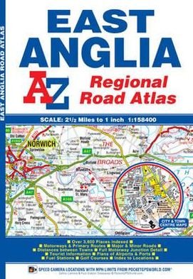
This A-Z map of East Anglia is a full colour regional road atlas featuring 39 pages of continuous road mapping extending from Grantham and Milton Keynes in the west to Lowestoft on the east coast, and from St Albans and Chelmsford in the south to Cromer on the north coast.
60 pages
| Media | Books Paperback Book (Book with soft cover and glued back) |
| Released | November 5, 2018 |
| ISBN13 | 9781843487951 |
| Publishers | HarperCollins Publishers |
| Pages | 60 |
| Dimensions | 167 × 208 × 3 mm · 139 g |
| Language | English |
More from the same publisher





See all of Geographers' A-Z Map Company ( e.g. Paperback Book , Map , Spiral Book and Book )