Tell your friends about this item:
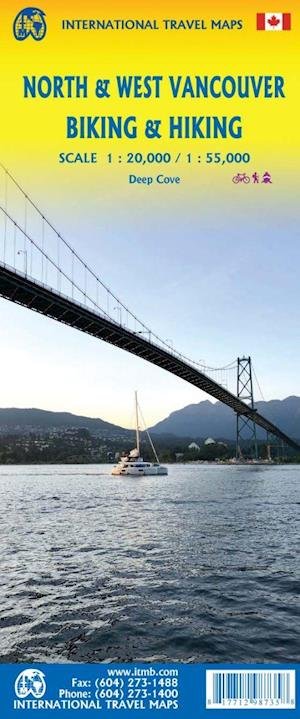
International Travel Maps: North & West Vancouver Biking & Hiking ITM Publications 1st edition
Our customers say:


International Travel Maps: North & West Vancouver Biking & Hiking
ITM Publications
Vancouver, British Columbia, is actually a gathering together of 23 cities and towns in a loose federation of shared interests. ITMBs map of Vancouver is, in reality, only the City of Vancouver, with most of greater Vancouver on the reverse side. North Vancouver and West Vancouver are separate municipalities located on the north shore of Burrard Inlet (the harbour making the Vancouver area the largest port on the Pacific coastline). There are four municipalities on the north shore, all of which are named after Captain George Vancouver, the renowned British naval explorer and mapper, and why these four do not merge into one remains one of those enigmas wrapped in a puzzle. Regardless, this is the first-ever street map of all four municipalities, but more importantly, the north shore communities is where the mountains that make the Vancouver area so attractive are located. This means that this is where all the ski resorts exist, all the downhill skiing is done, where the 2010 Olympic Games were carried out, and where dozens of biking routes, hiking trails, and recreational opportunities exist. As a result, this map has international marketing opportunities and year-long sporting venues. It includes the Horseshoe Bay ferry terminal to Vancouver Island, the Cypress Mountain viewpoint, the Grouse Grind extreme-run climb, the Baden-Powell hiking trail, and Deep Cove small-boat harbour, with its access to remote Indian Arm. Scales are 1:20.000 and 1:55.000.
| Media | Books Hardcover Book (Book with hard spine and cover) |
| Released | February 24, 2022 |
| ISBN13 | 9781771298735 |
| Publishers | ITMB publishing |
| Genre | Maps & Guides |
| Dimensions | 150 × 220 × 20 mm · 500 g (Weight (estimated)) |
| Language | English |
More by ITM Publications
Show all

More from the same publisher




See all of ITM Publications ( e.g. Hardcover Book , Book , Map , Print and Sewn Spine Book )