Tell your friends about this item:
International Travel Maps: New South Wales ITM Publications
Our customers say:


International Travel Maps: New South Wales
ITM Publications
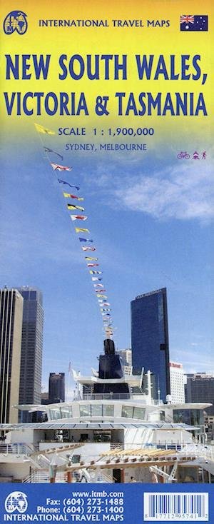
We are pleased to announce the completion of our regional maps covering Australia with this map of the south-eastern segment of the country. This is the most densely-populated part of Australia, stretching from Lismore in the northeast to the Tasman Sea in the south. It includes all of New South Wales (NSW) and Victoria State, with South Australia as far west as Adelaide. It also shows Tasmania, Australias only island state, in good detail, as well as Flinders Island and King Island. The map includes two very large inset maps of Melbourne and of Sydney. This map covers the travel plans of 90% of the visitors travelling around Australia, a continental country that is very difficult to see all of in one trip. The expanded scale weve used allows adequate room to include wilderness campgrounds, recreational vehicle parks, airports, petrol stations in more remote parts of the states, world heritage sites, national and state parks, and a host of points of interest. Scale: 1:1.900.000.
| Media | Books Hardcover Book (Book with hard spine and cover) |
| Released | October 12, 2021 |
| ISBN13 | 9781771295741 |
| Publishers | ITMB publishing |
| Genre | Maps & Guides |
| Dimensions | 150 × 220 × 20 mm · 500 g (Weight (estimated)) |
| Language | English |
More by ITM Publications
Show all










More from the same publisher


See all of ITM Publications ( e.g. Hardcover Book , Book , Map , Print and Sewn Spine Book )