Tell your friends about this item:
International Travel Maps: Atlantic Canada: : The Maritimes, Newfoundland & Labrador ITM Publications 2nd edition
Our customers say:


International Travel Maps: Atlantic Canada: : The Maritimes, Newfoundland & Labrador
ITM Publications
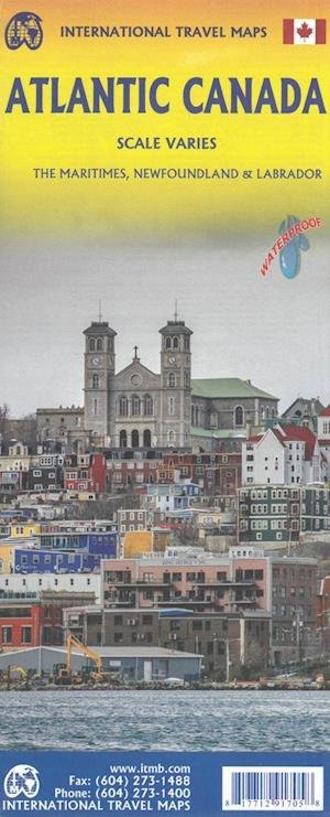
Folded maps of the Atlantic Canada. Side 1 covers Nova Scotia, New Brunswick, and Prince Edward Island as well as Quebecs Magdalen Islands at a scale of 1:800,000. This side also includes the Top 10 Attractions of the three provinces. The second side is devoted to the Canadian Province of Newfoundland and Labrador, with the much smaller island portion being a half-page inset at 1:150,000 scale and the larger mainland portion being at 1:1,700,000. The northernmost tip of Quebec/Labrador belongs to Nunavut. St. Pierre et Miquelon, a French overseas possession just south of Newfoundland Island, is also included, as well as the maps only urban inset, historic St. Johns, one of North Americas oldest cities. The map also includes a listing of 9 Top Attractions. ITMB also publishes maps of the individual provinces, but the advantage of this regional map is that it combines together four interesting parts of Canada on to one sheet, ideal for someone making a grand circle trip. It is printed on durable, waterproof, decomposable stone paper.
| Media | Books Hardcover Book (Book with hard spine and cover) |
| Released | December 10, 2020 |
| ISBN13 | 9781771291705 |
| Publishers | ITMB publishing |
| Genre | Maps & Guides |
| Dimensions | 150 × 220 × 20 mm · 500 g (Weight (estimated)) |
| Language | English |
More by ITM Publications
Show all









More from the same publisher


See all of ITM Publications ( e.g. Hardcover Book , Book , Map , Print and Sewn Spine Book )